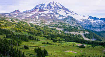
Route Options between Mowich Lake and Carbon River
This section of the guide covers the trail between Mowich Lake and Mystic Lake. Most of the Wonderland Trail hikers I’ve met in this area were traveling to Carbon River from Mowich Lake. This makes a short day if you take the lowland route through Ipsut Pass and I would recommend continuing to Dick Creek or Mystic Lake if you’re on an itinerary of 9 days or less.
While the distance to Carbon River via the alternate Spray Park route only adds about half a mile in distance, this path is somewhat arduous and takes much longer, and therefor Carbon River and Dick Creek both make good stopping points for the day if you choose this direction.
Carbon River via Ipsut Pass (7.6 miles)
The official Wonderland Trail continues northward over the nearby Ipsut Pass and descends to Ipsut Creek Campground. Ipsut Creek was for many years an access point to the Wonderland Trail, however the Carbon River Road washed out in 2006 and has remained closed since. A new ranger station is currently being built at the campground, and plans are underway to develop the closed section of road into a non-motorized mixed-use path.
Eunice Lake and Tolmie Peak Fire Lookout side-trip
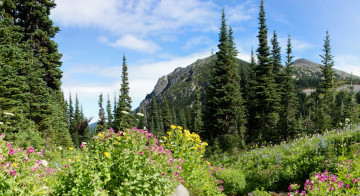
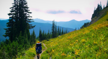
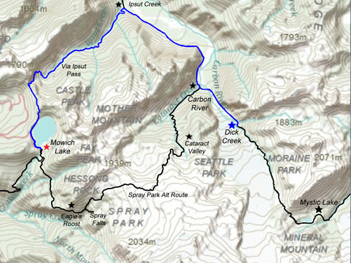
For Wonderland Trail hikers, Ipsut Pass is the fast and easy direction. From Mowich Lake the trail rises only a few hundred feet in elevation climbing to Ipsut Pass. Just before Ipsut Pass at 1.6 miles, the trail reaches the Eunice Lake / Tolmie Peak Lookout trailhead. This 1.8 mile (one-way) route makes a great side-trip, and the views of Eunice Lake and Mount Rainier from the Tolmie Peak fire lookout are superb when the weather permits.
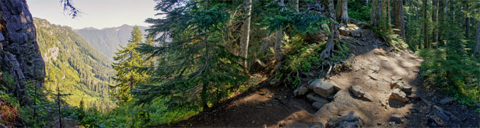
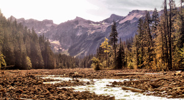
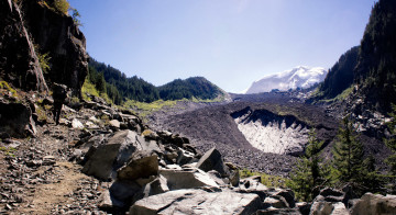
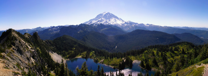
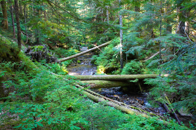
Ipsut Pass is an unmistakable notch in the ridge where the trail passes abruptly from one side to the other. From here the trail switchbacks steeply along the cliffs of the valley head. The vegetation is lush and springs emerge from the hillside. Crossing a small stream, the headwaters of Ipsut Creek, the descent becomes gentler passing into the ever-thickening forest in the shadow of Castle Peak and then along the northern slopes of Mother Mountain, a dense forest of Douglas fir, western hemlock, and Alaskan and western red cedar.
Following Ipsut Creek as it grows in strength, the trail crosses three tributaries that tumble down the hillside in steep, moss-draped cascades. At 3.6 miles from Ipsut Creek, it reaches a junction with the short trail to the Ipsut Creek Campground.
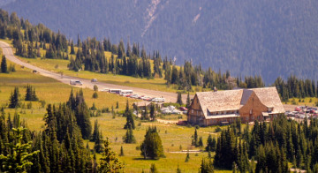
Ipsut Creek Campground
Ipsut Creek campground was once a bustling car camping destination, but now is only reachable by foot, five miles from where the Carbon River Road was washed away in flooding in 2006. As such, it now offers some luxuries not typical to most walk-in camps — a sprawling array of campsites to choose from, picnic tables, deluxe pit toilets with hand sanitizer, and large metal bear boxes for storing your food. It makes an excellent place to stay the night. Don’t miss the quick side-trip to Ipsut Falls, and if you find yourself with extra time to kill in the afternoon, consider walking along the old road 1.2 miles to the Chenuis Falls trail.
Chenuis Falls Side-Trip
Just 1.2 miles from Ipsut Creek Campground on the abandoned Carbon River road, the 0.5 mile trail starts near an old picnic and parking area, crosses the milky waters of the Carbon River, and leads to the crystal clear cascades of Chenuis Falls.

Ipsut Creek Campground to the Carbon River crossing
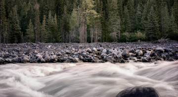
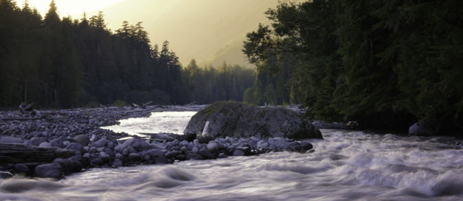
From Ipsut Creek Campground, the Wonderland Trail follows the Carbon River westward for 1.9 miles. Here you can see the harshness of the Carbon River as through time its channels constantly sweep back and forth across the valley, wiping out juvenile stands of forest that become established when the river’s path shifts away for a decade or two.
The valley is lush with growth, and huckleberries line the trail in abundance. The mountain looms from the head of the valley, and the roar of the river is punctured only by the industrious activities of the woodpeckers, occasional thuds of activity from the nearby glacier, and high-pitched whine of mosquitoes as they do low passes along your ears.
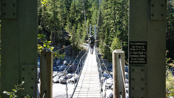
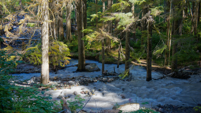
At 1.9 miles from Ipsut Creek, hikers are directed across the Carbon River to the east side of the short Carbon River loop where the trail junctions with the Northern Loop trail. The traditional Wonderland Trail ran alongside the west bank of the river, but it has been recently closed for a 0.9 mile stretch between this point and the large suspension bridge near Carbon River campground. The detour runs parallel on the east bank of the river until it meets up with the Wonderland Trail at the suspension bridge after 1 mile. If your destination is Carbon River camp, you will need to backtrack the short distance from the suspension bridge westward to the camp.